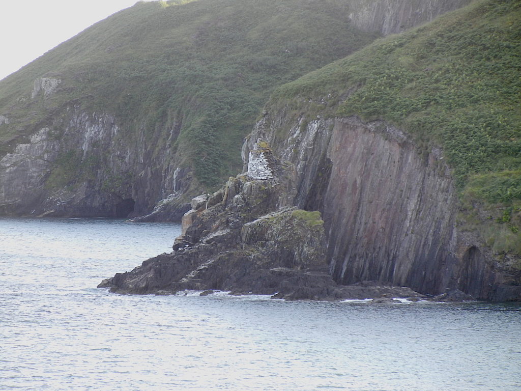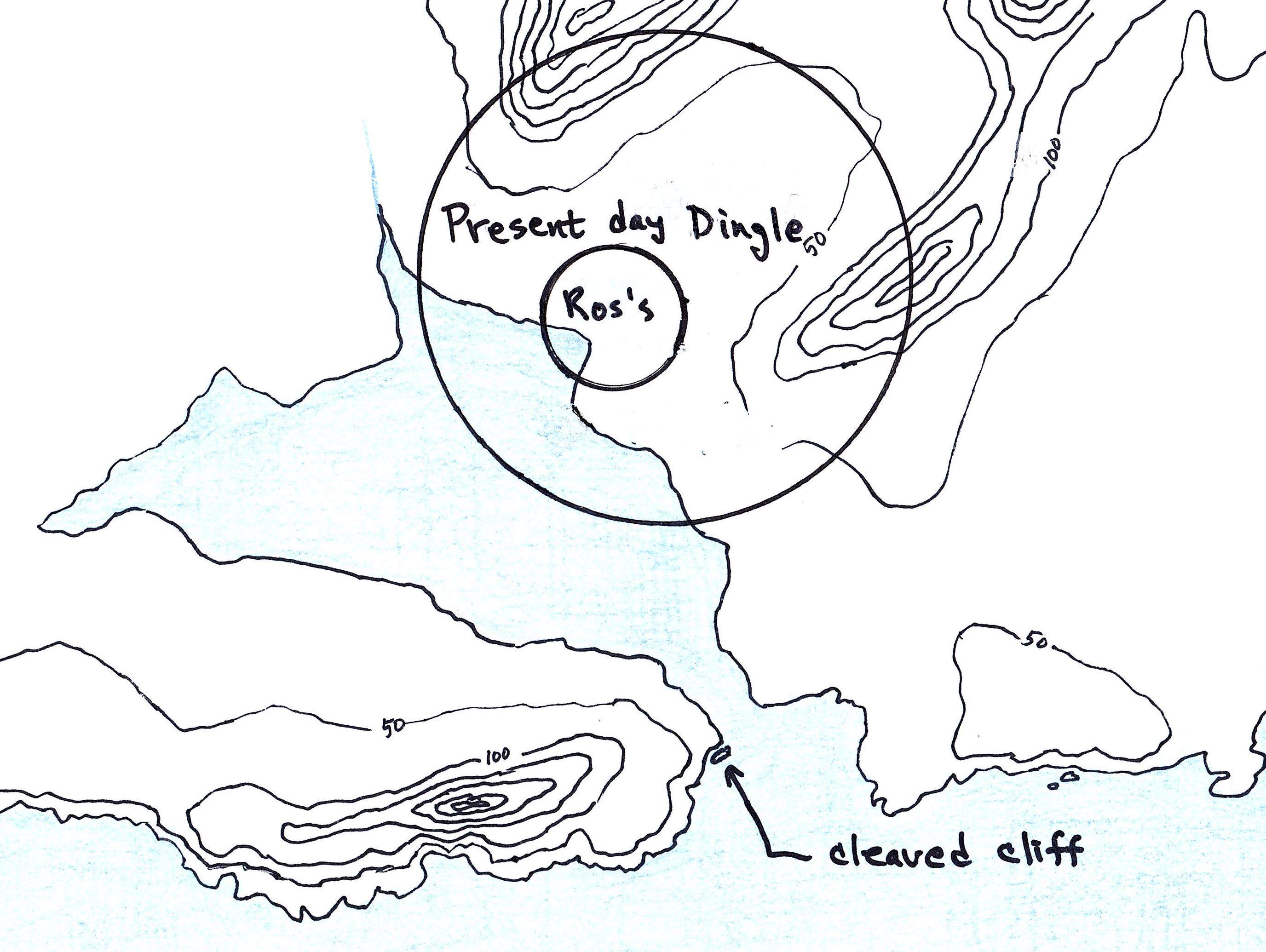
While writing “Contact,” I had a scene in which a couple of my (not-so-nice) characters discussed the acquisition of local “assets” north of Ros’s farmstead (the location of modern-day Dingle, Ireland).
The few farmsteads to the north have been stripped of food and fodder. But even this side will soon be barren unless we obtain more thralls to work the land.
But, from a tour of Ireland, I knew there was a Monastery in the same region, hence I knew I had to add a line to that paragraph:
The few farmsteads to the north have been stripped of food and fodder. Even the small monastery is now barren. But even this side will soon be barren unless we obtain more thralls to work the land.
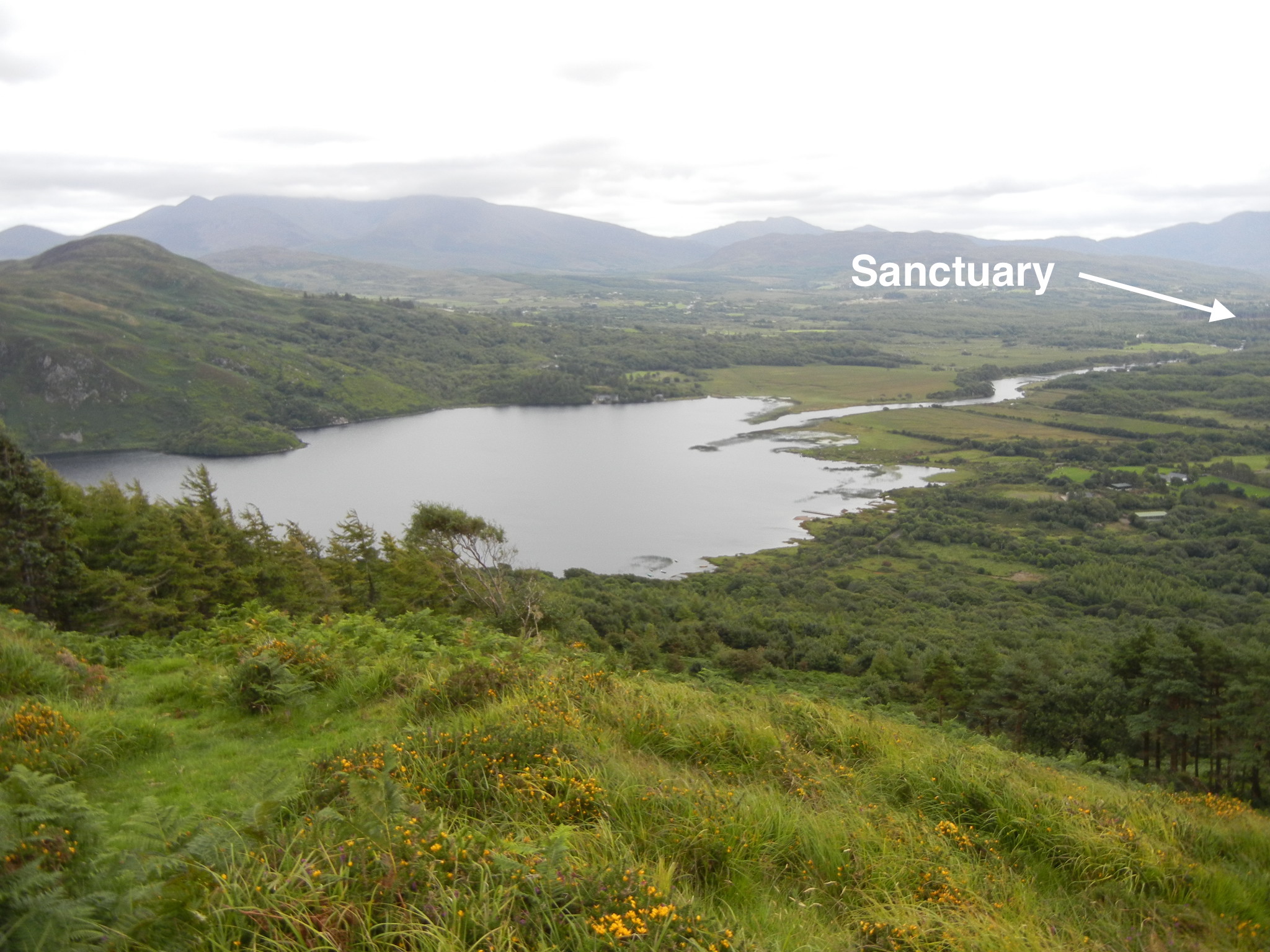
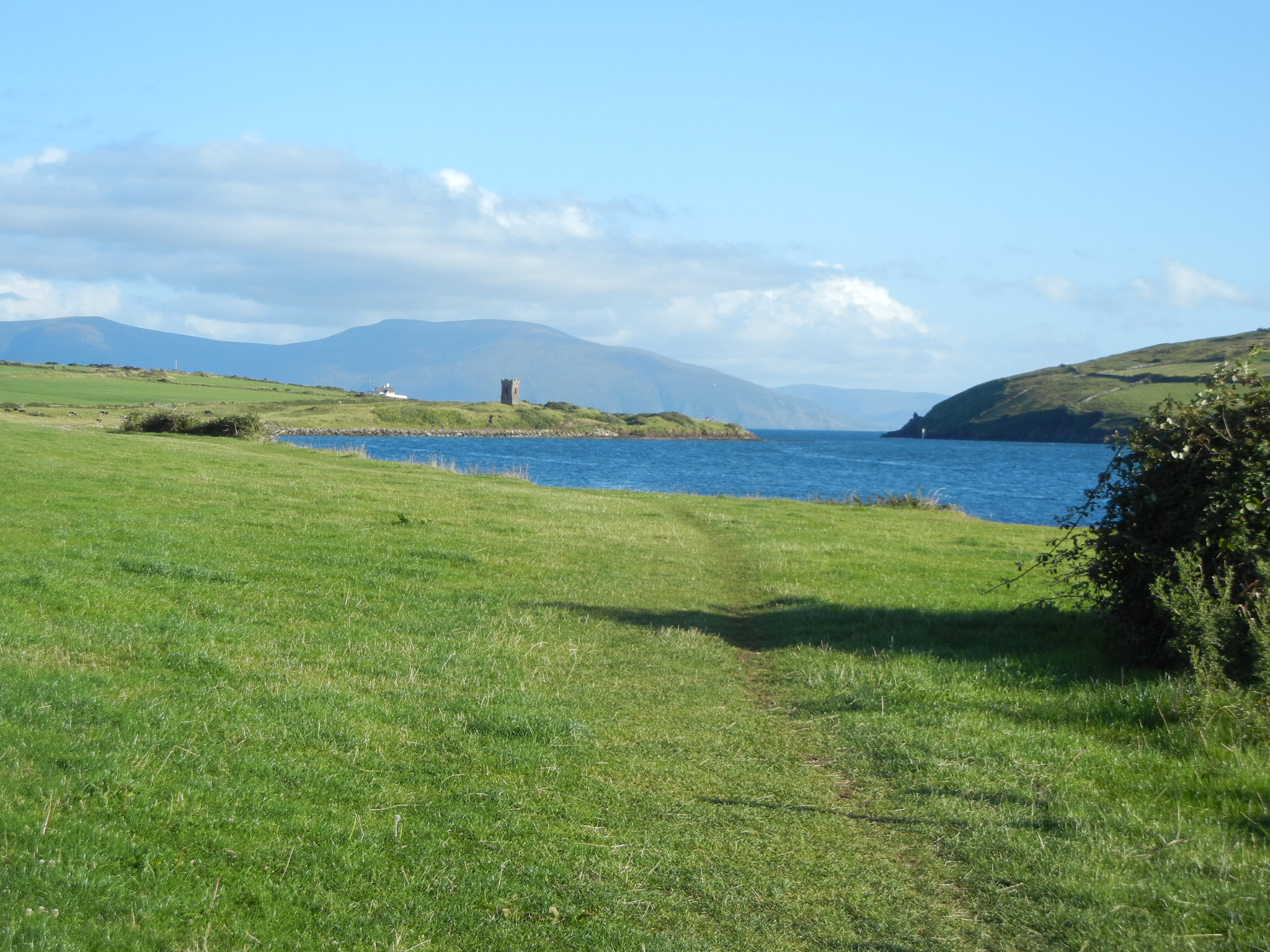
So what did/does this Monastery look like? Here is an encompassing view showing the surviving church:
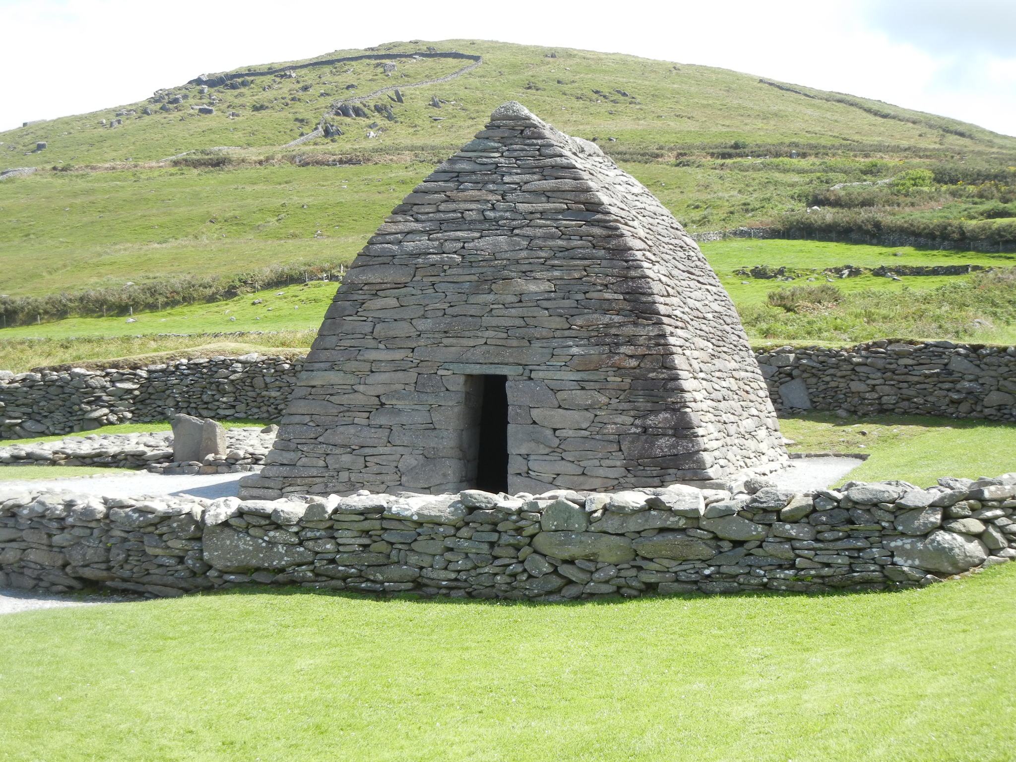
Monastery North of Ros’s Farmstead
No doubt, the stone church was surrounded by less permanent structures such as residences, cattle pens, storage buildings (made of wattle and daub), and fencing.
It’s quite interesting that the church’s door and the only window line up:
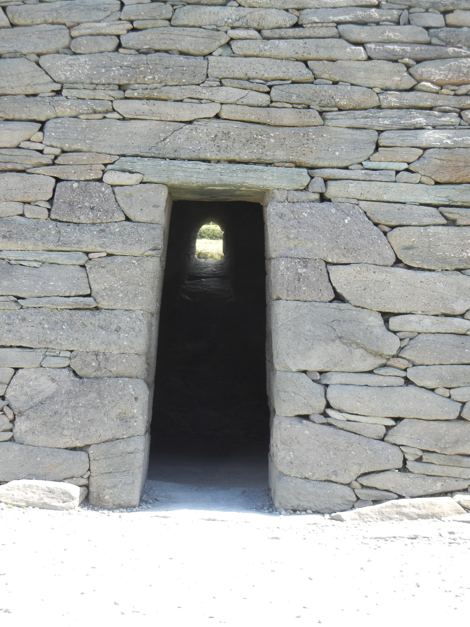
Looking East through Gallarus Oratory
The construction is also of interest. No mortar. Only gravity holds it together:
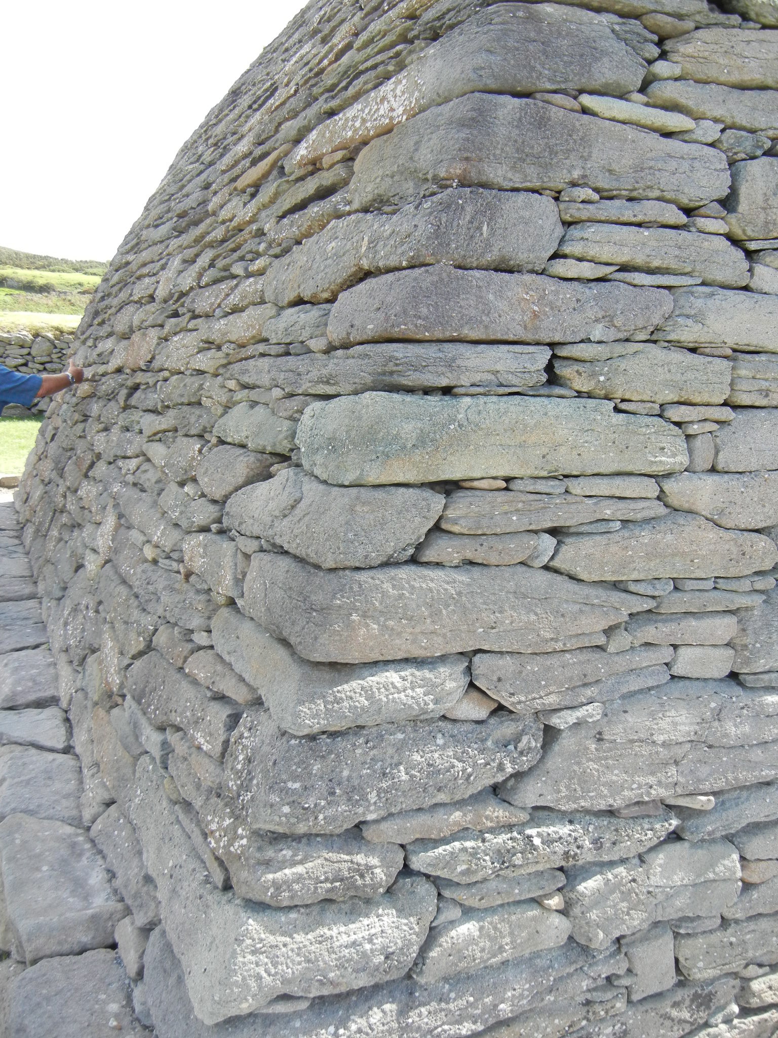
Morterless Construction
An interior view showing the intersection of ceiling and walls:

Interior View of Stonework
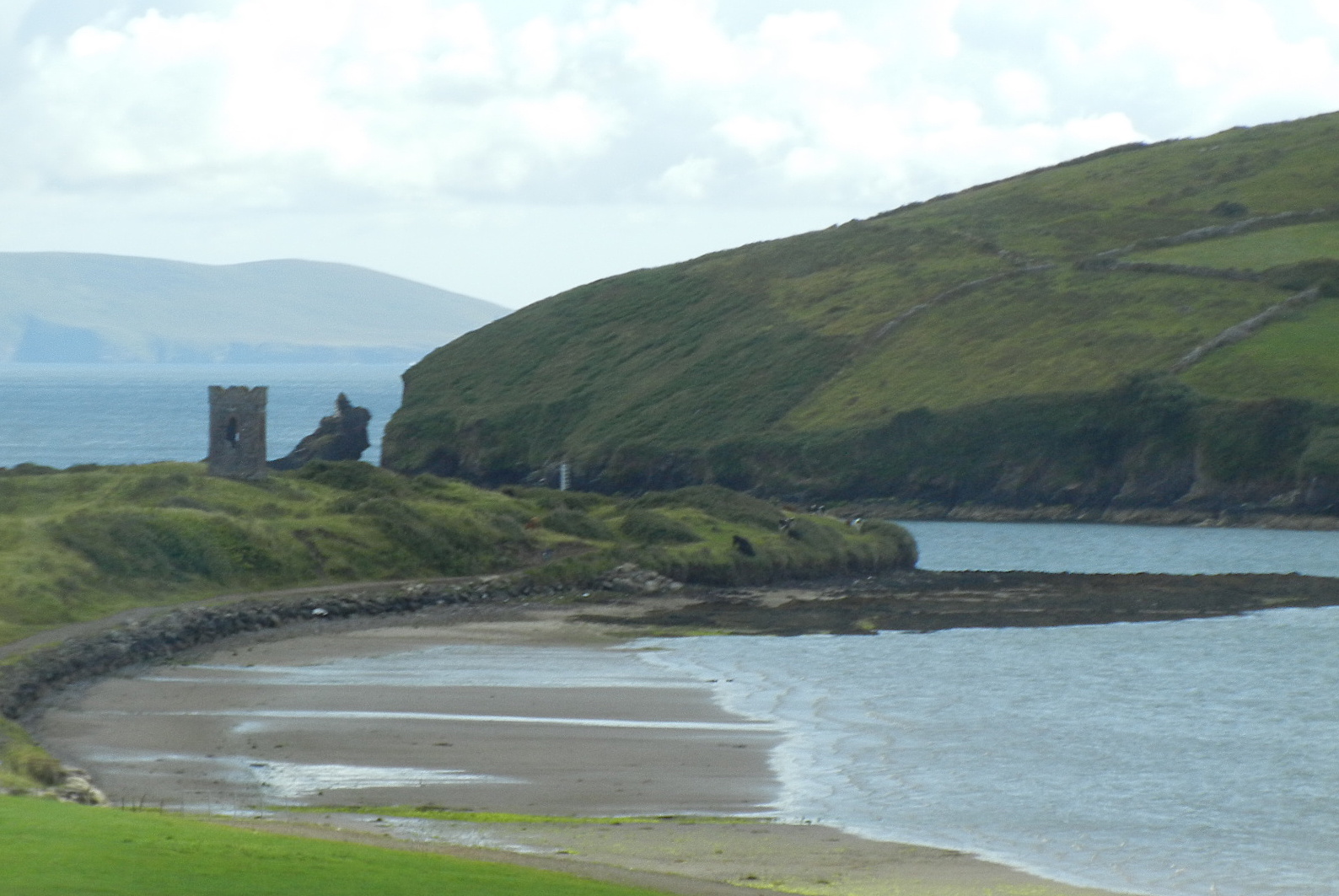
A much more elaborate religious structure stood a few miles away. But as it was built in the 1200’s, it didn’t make it into the story:
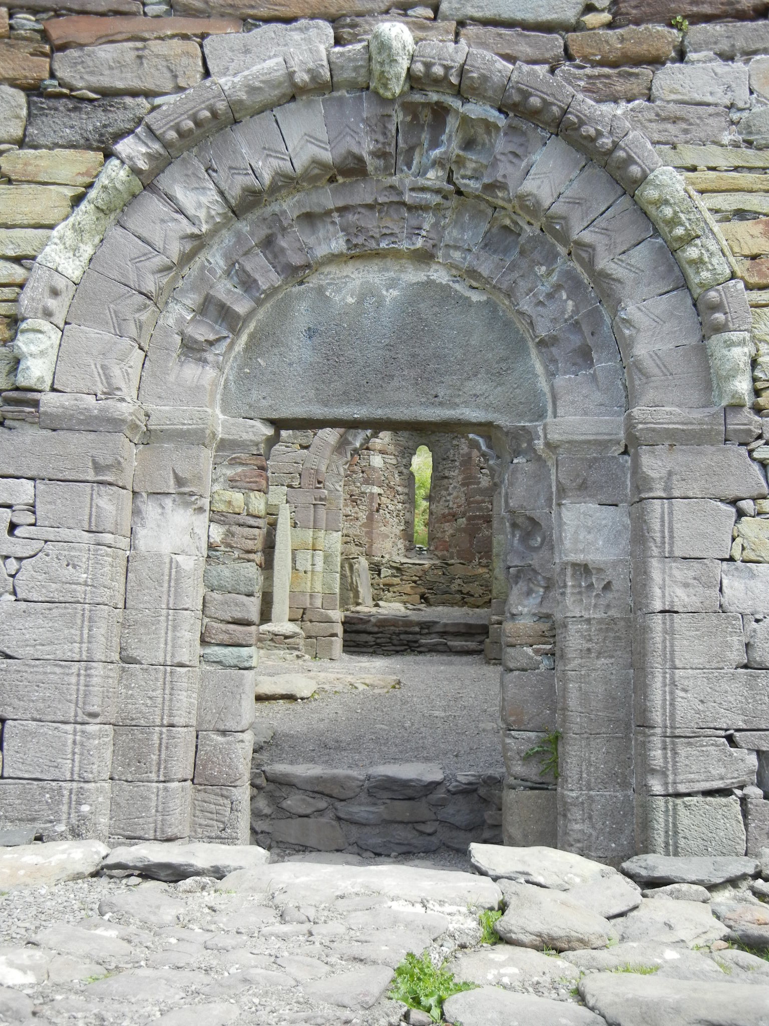
Church near Gallarus Oratory
Collapse: status
I’ve got a rough outline of the main plot. But as I write (I’m only at 9000 words…90,000 is typical book length), all sorts of sub-plots are slipping in.
This is a complicated story. Especially since the Maya civilization is so alien to us/me.
Also, they had larger cities than Europe in the middles ages. And larger populations. And they are one of the few civilizations that developed (on their own) the concept of “zero” in their number system.
Need a read while waiting for Collapse? May I suggest:
“1632” by Eric Flint
From Amazon:
In Flint’s novel of time travel and alternate history, a six-mile square of West Virginia is tossed back in time and space to Germany in 1632, at the height of the barbaric and devastating Thirty Years’ War.
Oh, and the eBook version is free on Amazon.
“Island In The Sea Of Time” by S. M. Stirling
From Amazon:
It’s spring on Nantucket and everything is perfectly normal, until a sudden storm blankets the entire island. When the weather clears, the island’s inhabitants find that they are no longer in the late twentieth century…but have been transported instead to the Bronze Age! Now they must learn to survive with suspicious, warlike peoples they can barely understand and deal with impending disaster, in the shape of a would-be conqueror from their own time.
Finally, my all time favorite (and rather weird) series:
“The Eyre Affair: A Thursday Next Novel” by Jasper Fforde (not a typo!)
From Amazon:
Fans of Douglas Adams and P. G. Wodehouse will love visiting Jasper Fforde’s Great Britain, circa 1985, when time travel is routine, cloning is a reality (dodos are the resurrected pet of choice), and literature is taken very, very seriously: it’s a bibliophile’s dream. England is a virtual police state where an aunt can get lost (literally) in a Wordsworth poem and forging Byronic verse is a punishable offense. All this is business as usual for Thursday Next, renowned Special Operative in literary detection. But when someone begins kidnapping characters from works of literature and plucks Jane Eyre from the pages of Brontë’s novel, Thursday is faced with the challenge of her career. Fforde’s ingenious fantasy—enhanced by a Web site that re-creates the world of the novel—unites intrigue with English literature in a delightfully witty mix. Thursday’s zany investigations continue with six more bestselling Thursday Next novels, including One of Our Thursdays is Missing and the upcoming The Woman Who Died A Lot.
Hey, any story in which Jane Eyre is kidnapped from her book has gotta be great…
For questions, comments, and general BS, please drop me a line at walt@waltsocha.com
PS…link to information on the Monastery: http://www.gallarusoratory.ie/